With a dashboard on traffic and environmental issues, the "Smart City Bonn meets Geo" workshop series has produced its first concrete results after its third meeting. With the dashboard it has developed, the initiative shows that it has the potential to become a problem solver for environmental and transportation issues in the city. The initiative is also dedicated to promoting young talent for the geo-IT market in the region.
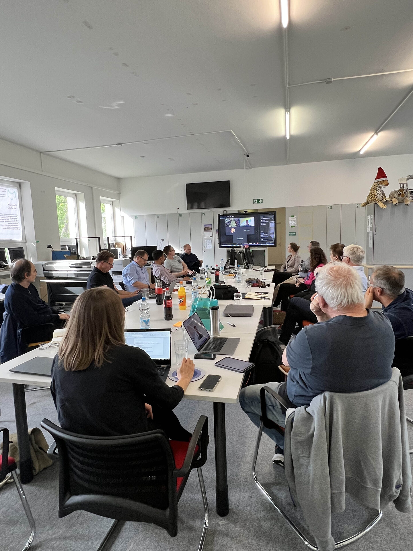
"How do I get to work as sustainably as possible?" "I'm looking for cool places in the city. Where can I find them?" "We want to go on a bike ride at the weekend without being disturbed by car traffic. Is that possible?" "I always want to have a parking space when I drive into the city. How do I find it?" "I suffer from allergies. What do the high ozone levels in the city center mean for me?" "Where can I find a jogging route where I come into contact with as few air pollutants as possible?" If you want answers, you need two things: firstly, you need to have a concern and ask the right questions. Secondly, they need information on the basis of which these answers can be found. In the workshop series "Smart City Bonn meets geo", it became clear after the third working meeting on May 24, 2022 at Makerspace Bonn e.V. (opens in a new tab) that the voluntary initiative has the potential to provide answers. Firstly, the twenty or so participants from business, administration and education have many initial ideas for questions that can take Bonn a step further. Secondly, they have the expertise to compile the data required for the answers and make it available to everyone.
The "Smart City Bonn meets Geo" initiative was initiated by the geobusiness region bonn (opens in a new tab) with Dr. Ulrich Ziegenhagen and Jana Hevendehl (opens in a new tab) for the Bonn Economic Development (opens in a new tab) Agency and Till Bornstedt (opens in a new tab) from the Bonn-Rhein/Sieg Chamber of Industry and Commerce (opens in a new tab) together with Smart City Bonn (opens in a new tab), in particular the team around CDO Friedrich Fuß (opens in a new tab), as well as Peter Pröpper from Makerspace Bonn e.V. (opens in a new tab)
The goals: Information and interaction
The workshop series "Smart City Bonn meets Geo" has set itself the task of pooling the extensive and distributed geo knowledge of the city of Bonn and using it sensibly and sustainably for the Smart City Bonn. The digitalization of the city is progressing massively, and with it the opportunities to improve the lives of citizens in a variety of ways. Many developments are still in the shadows, but the foundations have been laid. Numerous companies from the geo-IT segment, a digital administration of the city of Bonn that relies heavily on geodata and a very diversified university and educational landscape form the basis for finding answers in Bonn where many others are left asking questions.
Around twenty experts from the "Where" met live for the first time (for the third time in total) and brought the first results to light. On a geodata-based portal, members of the initiative have proactively collected data on the topic of "transport" and prepared it in a clear format. The data sets bundled in the portal, most of which originate from open data from the city of Bonn, include the development of the city of Bonn in LOD2 (block model), development plans, the tree register, all existing parking spaces, parking garages, cab ranks, charging stations for e-cars and park and ride stations in the city. As a first step, real-time data from local transport will also be integrated for traffic simulations. The aim is also to enrich data sets with environmental topics such as weather data and air pollutants and make them available to citizens, the administration and political decision-makers for interaction and information.
Specification of the procedure in the next step
The attendees intensively discussed how exactly the data platform can be used in a targeted manner as a "tangible" result of the workshop series. Everyone agreed that the true value of the data can only be realized through further processing of the data tailored to specific issues and target groups (citizens, administration, politics). In addition to the development of apps with concrete recommendations for action for specific target groups, ideas competitions, hackathons (also as part of school visits with the Makermobil) and a "Night of Geodata" were proposed. The United Nations' Sustainable Development Goals provide direct access to the answers hidden in the data.
Targeted approach to promoting young talent
A second working group of the initiative is driving forward the promotion of young talent for the geo-IT market. The planned activities include the integration of geo-IT topics into the "Maker-Mobil", which specializes in STEM topics and will regularly bring mathematical and scientific topics to schools in Bonn's educational landscape from autumn 2022. In order to attract the skilled workers of tomorrow, pupils need to be informed about exciting careers today. The offers will be communicated in cooperation with the regional education office and other bodies. The planned activities include a newsletter, workshops, internships and a competition/hackathon.
Further developing the data platform
The next working meeting of the "Smart City Bonn meets Geo" initiative will serve to determine further data input into the platform. This will involve clarifying which data can be implemented in the dashboard with little effort and which data can be implemented in the future. In addition, the ways in which the data can be put to use (hackathons, ideas competitions, apps, etc.) need to be specified.
The date for the next working meeting will be announced shortly. New participants are also very welcome.